
Article re-cap
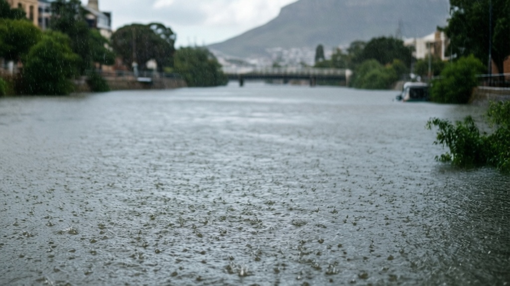
- Heavy continuous rainfall has caused rivers and canals across Cape Town to reach capacity and overflow.
- The Liesbeeck River overflowed along certain sections, including the area near Kildare Road, on Tuesday 9 July.
- Traffic came to a standstill at the intersection of Liesbeeck Parkway and Klipfontein Road due to the river breaking its banks.
- The Diep River tends to experience flooding in low lying areas of Table View during heavy rain.
Heavy continuous rainfall has caused rivers and canals across Cape Town to reach capacity and overflow, prompting officials to advise residents to use alternative routes.
The Liesbeeck River overflowed along certain sections, including the area near Kildare Road, on Tuesday 9 July. Traffic came to a standstill at the intersection of Liesbeeck Parkway and Klipfontein Road as the river broke its banks, according to reports.
In the Table View area, the Diep River tends to experience flooding in low-lying areas during heavy rain. This river originates in the Swartland and flows into the Rietvlei in Table View before reaching the Milnerton Lagoon.
Mayco Member for Urban Mobility, Roberto Quintas, said prolonged downpours can overwhelm stormwater systems and cause localised flooding. He noted that the situation is worsened by the continuous dumping of rubble, plastics, and other foreign objects into these systems.
Mayco Member for Water and Sanitation, Zahid Badroodien, urged residents to take heed of precautionary measures to ensure community safety. City emergency teams remain on the ground responding to incidents and monitoring water levels.
This follows earlier local coverage of Yellow Level 4 rain warning issued for Cape Town.
Frequently asked questions
Which rivers in Cape Town overflowed during the heavy rainfall on 9 July?
The Liesbeeck River overflowed along certain sections, including the area near Kildare Road on Tuesday 9 July, causing traffic to come to a standstill at the intersection of Liesbeeck Parkway and Klipfontein Road. The Diep River in Table View also experienced flooding in low-lying areas.
What factors are contributing to the flooding and overflow in Cape Town's waterways?
According to Mayco Member Roberto Quintas, prolonged downpours overwhelm stormwater systems and cause localised flooding. The situation is worsened by continuous dumping of rubble, plastics, and other foreign objects into these drainage systems.
What precautionary measures should residents take regarding the flooding?
Mayco Member for Water and Sanitation Zahid Badroodien urged residents to heed precautionary measures to ensure community safety. Officials have advised residents to use alternative routes to avoid flooded areas.
Where does the Diep River flow in the Table View area?
The Diep River originates in the Swartland and flows into the Rietvlei in Table View before reaching the Milnerton Lagoon during normal conditions.
Source: themercury.co.za